Legal challenges could delay the EPA’s ability to enact the measures, which coincide with Louisiana activists' fight against projects poised to increase air pollution.
Legal challenges could delay the EPA’s ability to enact the measures, which coincide with Louisiana activists' fight against projects poised to increase air pollution.
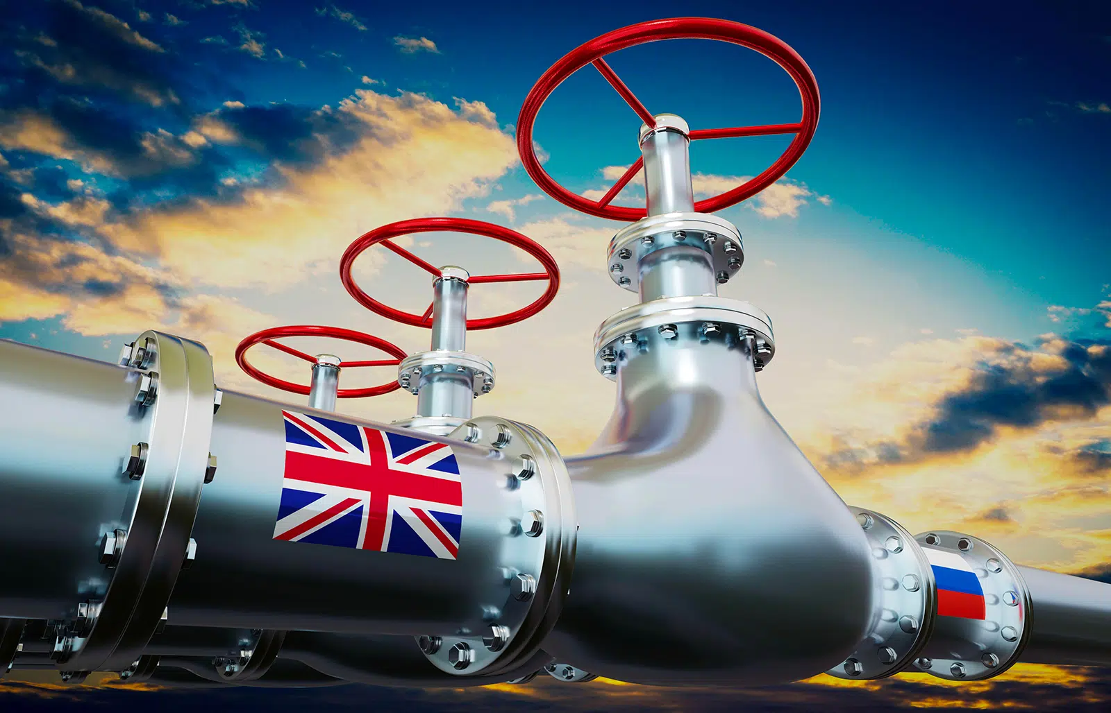
Britain is boosting the Kremlin war effort by continuing to purchase billions of pounds worth of refined oil from India, China, and Turkey, campaigners say.
Britain is boosting the Kremlin war effort by continuing to purchase billions of pounds worth of refined oil from India, China, and Turkey, campaigners say.
The former prime minister attacks flagship climate deals and makes false claims about electric vehicles, Russia’s influence on energy policies, and net zero.
The former prime minister attacks flagship climate deals and makes false claims about electric vehicles, Russia’s influence on energy policies, and net zero.
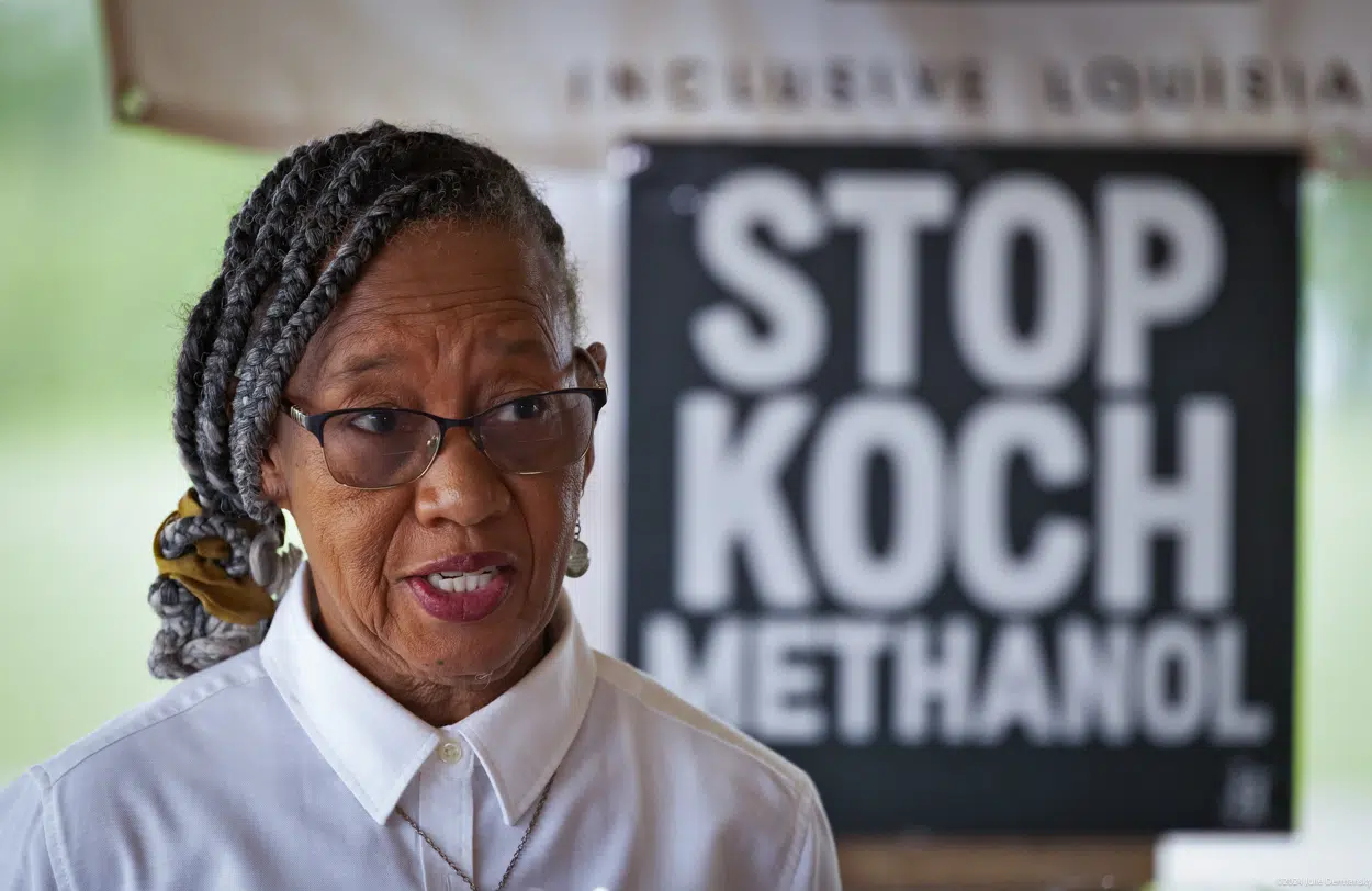
Legal challenges could delay the EPA’s ability to enact the measures, which coincide with Louisiana activists' fight against projects poised to increase air pollution.
Legal challenges could delay the EPA’s ability to enact the measures, which coincide with Louisiana activists' fight against projects poised to increase air pollution.
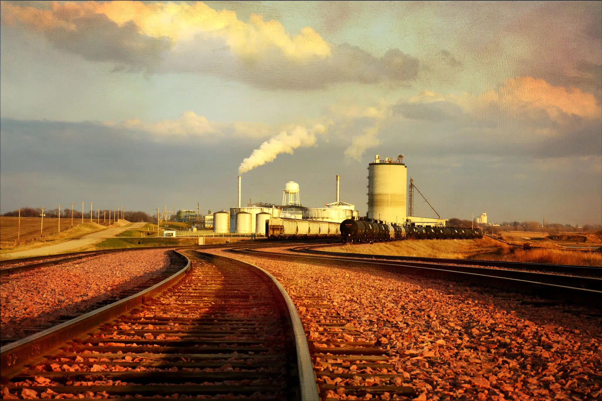
Summit Carbon Solutions insisted for years that its proposed Midwest carbon pipeline network would not be used for enhanced oil recovery in North Dakota.
Summit Carbon Solutions insisted for years that its proposed Midwest carbon pipeline network would not be used for enhanced oil recovery in North Dakota.
Britain is boosting the Kremlin war effort by continuing to purchase billions of pounds worth of refined oil from India, China, and Turkey, campaigners say.
Britain is boosting the Kremlin war effort by continuing to purchase billions of pounds worth of refined oil from India, China, and Turkey, campaigners say.
The former prime minister attacks flagship climate deals and makes false claims about electric vehicles, Russia’s influence on energy policies, and net zero.
The former prime minister attacks flagship climate deals and makes false claims about electric vehicles, Russia’s influence on energy policies, and net zero.
Martin Richard Durkin
Credentials
Durkin studied ancient and medieval history at University College London and economic history at the London School of Economics."The Director: The Great G...
Pathways Alliance
Background
The Pathways Alliance is an initiative of Canada’s six largest oil sands producers responsible for about 95% of Canada's oil sands production including Canadian ...